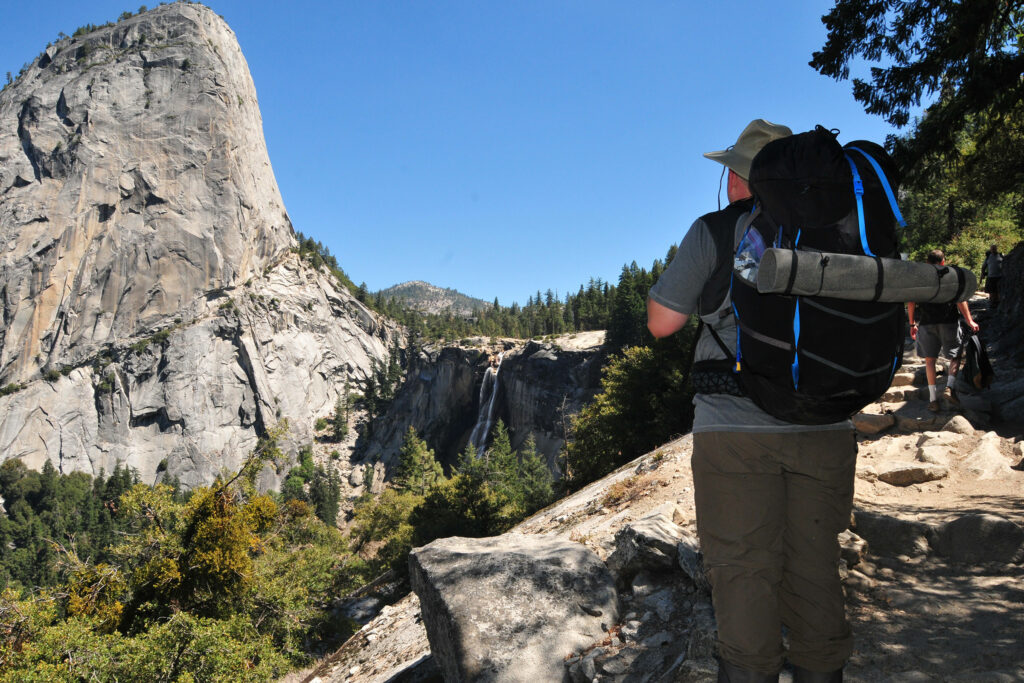
California is full of excellent backpacking trails. From the Pacific Ocean coast to the mountain peaks of the Sierra Nevada to the Joshua Tree forests of the Mojave Desert, California has a lot of ground to cover.
Below are some of the famous trails with brief descriptions and links to detailed information pages.
Or take a look at my photo gallery from my hike on a 65-mile portion of the John Muir Trail. I also have a report and photos from the Tahoe Rim Trail while hiking to the summit of Freel Peak.
BACKPACKING TRAILS OF CALIFORNIA
Pacific Crest Trail
Length: 2,653 miles long
California Length: Roughly 1,700 miles
Location: Mexico border in California to Canada border in Washington
More Info: Pacific Crest Trail Association
John Muir Trail
Length: 214 miles long
Elevation Profile: Roughly 47,000 feet of elevation gain
Location: Sierra Nevada Mountains – Yosemite to Mt. Whitney
More Info: National Park Service – John Muir Trail
Rae Lakes Loop
Length: 41.4 miles long
Elevation Profile: 5,035′ to 11,978′
Location: Kings/Sequoia National Park
More Info: National Park Service – Rae Lakes Loop
Tahoe Rim Trail
Length: 170 miles
Elevation Profile: 6,240′ to 10,338′
Location: Lake Tahoe
More Info: TahoeRimTrail.org
Trans-Catalina Trail
Length: 38.5 miles
Elevation Profile: Sea level to 1,775′
Location: Catalina Island
More Info – Catalina Island Conservancy
Lost Coast Trail
Length: 25 miles
Elevation Profile: Sea level
Location: Humboldt County
More Info: Bureau of Land Management – Lost Coast Trail