There’s sure to be a few opinions about where the best view of the Las Vegas valley can be found.
If you’re standing on top of Black Mountain, after a steep hike to the 5995-foot peak, it’ll be hard to argue for anywhere else.

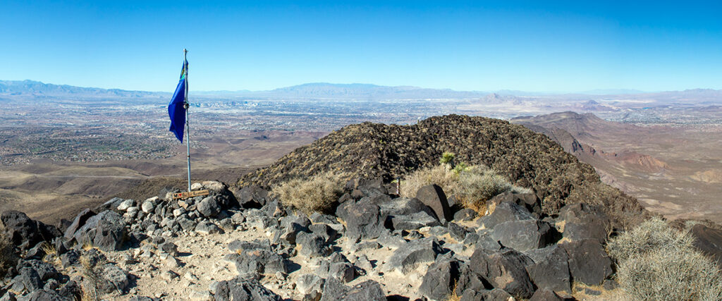
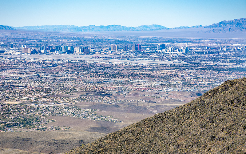
Black Mountain is the highest point at the southern edge of Las Vegas. At the top you can see every corner of the city as well as all the way to California and Arizona.
The hike itself is roughly seven miles roundtrip. The difficult part isn’t the distance, it’s the elevation gain. Climbing 2,000 feet in 3.5 miles is a challenge for most, and the final section is certainly thigh-burning steep.
But it’s worth the work to make it to the top. You won’t be disappointed with the views.

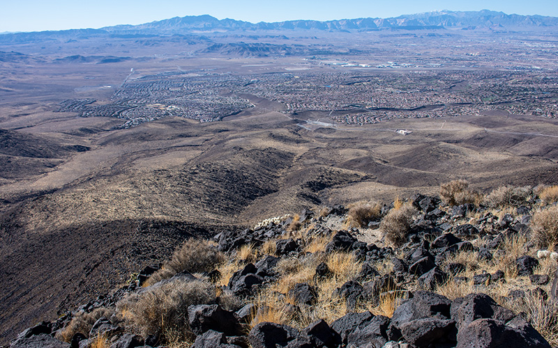
The Las Vegas Valley is wholly visible. From Summerlin to McCarran Airport to Henderson to Nellis. On the other side are the solar farms and desert towards Boulder City and Searchlight.
The trailhead begins in the Anthem neighborhood of Henderson on Shadow Canyon Drive. The 3.5-mile route is all uphill and steepest close to the summit. It’s also exposed to sun and wind the whole way. At the top there’s a circular rock-wall wind shelter and a Nevada state flag , nothing else except the views.
