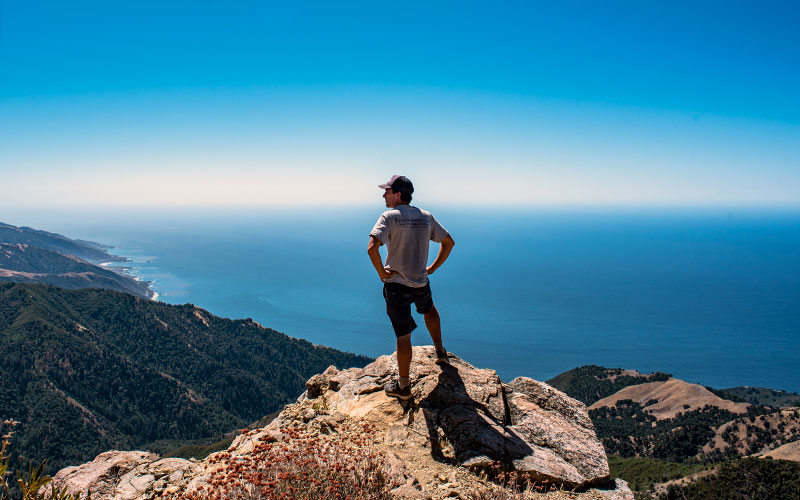
Let’s be honest, amazing views are not hard to come by in Big Sur. It’s the kind of place that a new, postcard-perfect vista is around every corner. In fact, where ever you are in Big Sur, the view is probably epic.
The views from the top of Cone Peak, however, are fantastic even by Big Sur standards.
At 5,155 feet above sea level, the summit overlooks the Pacific Ocean and the deep coastal canyons filled with Redwood groves.
There are two ways to bag the summit. The longer route, starting at sea level, is 23 miles round trip with over 5,000 feet elevation gain. The faster and easier option starts near the peak and is a little under five miles round trip.
Some hikers also choose to make the summit as an offshoot to a multi-day route along the various trails through the area.
I won’t lie, I took the shorter route. I was on my way from Los Angeles to San Francisco for the weekend and didn’t have a lot of time, but wanted to get in a hike if I could.
To get to the trailhead, turn off Highway 1 near Kirk Creek Campground onto Nacimiento-Fergusson Road. Drive up into the hills for just over seven miles until you reach Coast Ridge Road (Forest Road 22S05) and take a left. Drive another five miles on the well-maintained dirt road. The trailhead parking is a turn out on a bend in the road.
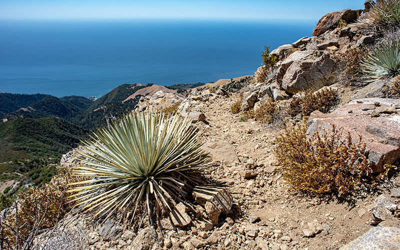
The trail itself runs along the mountainside with ocean views and a gradual incline. It’s not until the final half mile that the switchbacks kick in and quickly elevate you to the peak.

On the summit there is an unmanned ranger hut and a pair of markers from the U.S. Geological Survey. Surprisingly, Cone Peak is one of the tallest mountains in the lower 48 within three miles of the ocean. It’s a good place for a break with places to sit and vegetation to protect from the elements.
Coming down the views are even better because the trail is now facing south and the coastline stretches to the horizon.
A regular hiker can complete the shorter route in just 2-3 hours.