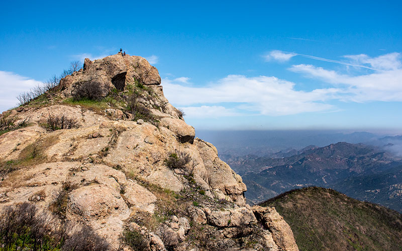
Standing at the top of Sandstone Peak, the views stretch from the Santa Ynez Mountains in Santa Barbara County to the Channel Islands in the Pacific Ocean and all the way to the high peaks of the San Bernardino Mountains.
As the highest point in the Santa Monica Mountains, Sandstone Peak offers a pretty sweet view in every direction.
Closer by there’s even more to see, from the Tri Peaks to the Conejo Valley to the deep Malibu canyons emptying into the ocean.
Hiking to Sandstone Peak from the designated trail head parking lot is three miles roundtrip. It’s the elevation gain, however, that makes the hike more than just a stroll in the park. The summit sits at 3,311 feet, roughly 1,000 feet above the parking lot.
The climb has some steep sections but the trail itself is mostly smooth and wide with a gradual slope. AllTrails.com gives it a “moderate” difficulty level.

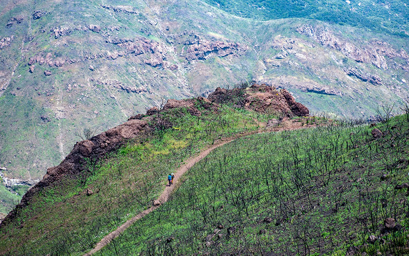
The landscape has changed dramatically since the Woolsey Fire scorched the area in November, 2018. Without as much plant growth on the trailsides, there’s less shade from the sun but much better views. Only six months since the fire, and after a winter with lots of rain, the hillsides are already recovering with a layer of fresh green growth and colorful wild flowers.

Some people reach the top of Sandstone Peak while hiking the longer Mishe Mokwa Trail. This route is a 6.5 mile loop originating in another parking lot on the side of Yerba Buena Road.
Here’s a Google map that shows the area around Sandstone Peak. You can see Yerba Buena Road and the trailhead parking lots for Mishe Mokwa and Sandstone Trail. Circle X Ranch is a nearby landmark. Some Malibu roads remain closed from the Woolsey Fire, and as of this writing, the lower portion of Yerba Buena Road is closed from PCH. To reach the trailheads, you can access from either Deer Creek Road or Kanan Road. Find current road closures and news regarding the Woolsey Fire HERE.
Check out more hiking blog posts on Outdeezy HERE.