When I reached the trail head for the hike to the summit of Mt. Pinos, it was clear I was already at a pretty high elevation. There sat the Mt. Pinos Nordic Base, a launching spot for cross country skiers in the winter.
I was already at 8,300 feet, having just been at sea level less than two hours before, and planned to hike the final two miles to the Mt. Pinos summit, elevation 8,900 feet.

It was May, yet there were still patches of snow everywhere and the air was crisp. From reports from other hikers online, the trail was snowbound until late April after a winter of abundant snowfall.
The hike was part of a quick 24-hour get away from Los Angeles. Having never been to this edge of the Los Padres National Forest, I had located a cool looking campground nearby and decided that summiting Mt. Pinos was an activity that I could accomplish during my short time frame.
I departed L.A. at 1 p.m., navigating over the Sepulveda Pass and across the San Fernando Valley. After a stop for camp supplies, food and gas in Santa Clarita, I arrived at Mt Pinos’ Nordic Base at 3:45.
The two miles to the summit took me 35 minutes at a solid pace. Luckily I’ve never been very sensitive to altitude sickness, but even still, the quick ascent from sea level was felt.
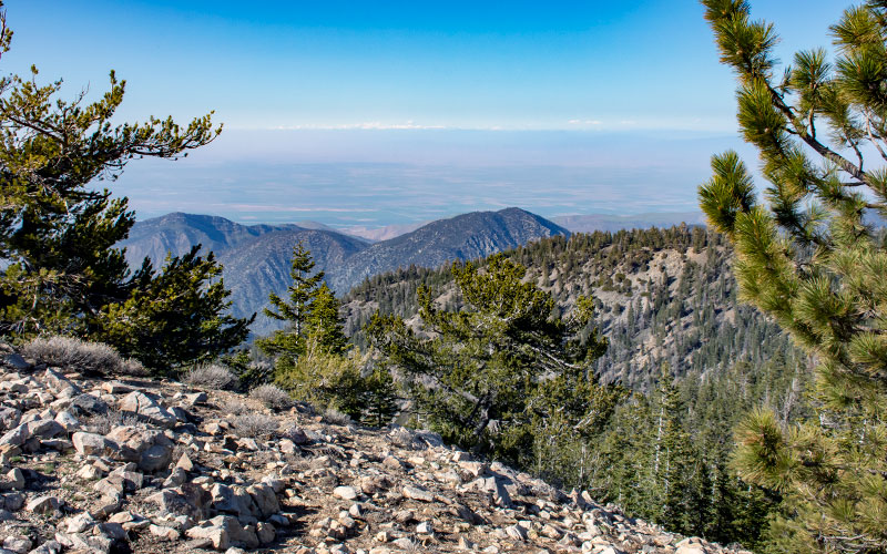
The summit isn’t a dramatic peak but rather the highest point on a partially forested ridgeline. There’s a communications tower at the highest point marking the spot.
Views to the north are best, looking out towards the agricultural lands of the southern San Joaquin Valley. To the south is more mountainous terrain in the heart of the Los Padres National Forest.
In case you decide to hike Mt Pinos, here’s a weather report from the Nordic Base.
There’s a longer route to hike Mt Pinos on the McGill Trail. It’s over 15 miles, beginning at the bottom of Mt. Pinos Road at the juncture where Cuddy Valley Road meets Mil Potrero Road.
For a closer look at Valle Vista Campground where I stayed, continue reading here.
Check out other hiking reviews on Outdeezy.com.